Recreating PC Globe, Part 0: Introduction
So, I've had computer trouble lately. My laptop died, and I had nothing backed up. Fortunately, I purchased a replacement, and I was able to recover my data in spite of the fact that I had nothing backed up. That is a mistake that I won't let happen again.
Anyway, we're well past the holidays at this point. However, due to the aforementioned computer problems and just general laziness on my part, I'm finally getting around to throwing up another blog post that I meant to throw up during the holidays. This Christmas, I managed to get three of my nieces a globe as a present. Perhaps the gift says more about me than it does my nieces: the oldest of the nieces is four years old. When I was about four years old (back in 1990), my father installed a neat computer program on our 25 MHz, 386 personal computer: PC Globe. That, combined with other geographic artifacts such as Where In The World Is Carmen Sandiego? and a real globe that my grandmother bought for my brother, began a hopeless descent into the world of geography nerdism that still haunts me today.
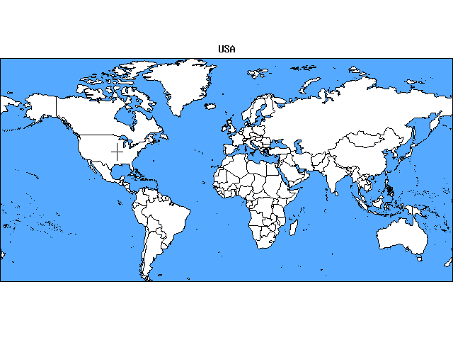
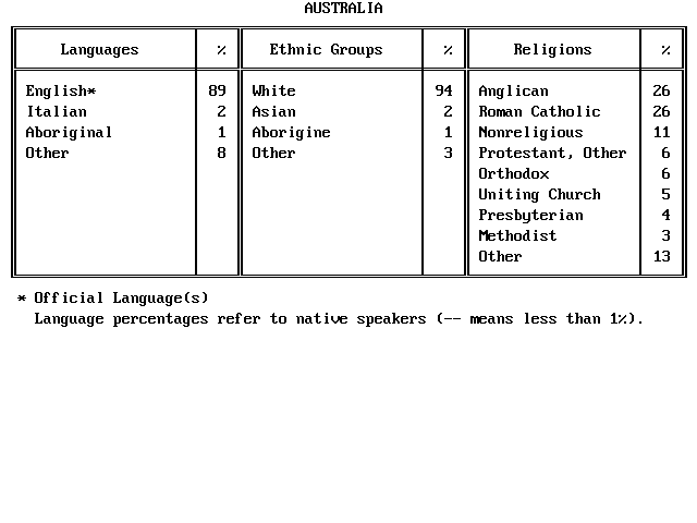
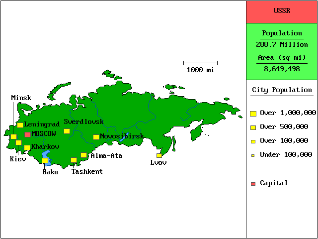
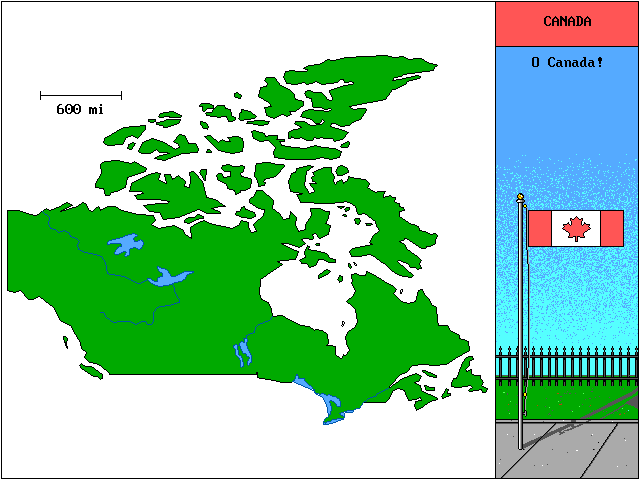
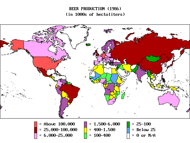
Anyway, PC Globe: it was a DOS program that was a cross between an atlas and a statistics book containing data on various countries. It had a slick (for the time) point-and-shoot interface; you pointed the mouse cursor over a country on a map and clicked the mouse button. Up popped information about the country that you clicked on: population estimates, age distribution, GNP, languages spoken, ethnic groups, religions, imports, exports… you get the idea. One very neat feature was that you could even get it to display the country's flag while it simultaneously played that country's national anthem on the computer's shitty internal speaker.
I still have a copy of the program. However, it has to be run it through DOSBox because of technical issues. I run it purely for nostalgia purposes; it's entirely useless as a usable tool in this day of age mostly because it's out of date. Remember how I said 1990? If you remember correctly, that was during a period of transition. The Berlin Wall fell in 1989, and the Soviet Union collapsed in 1991. I remember, after being told that the USSR had broken up into smaller countries, calling my father at his workplace to ask him if he could “draw lines across Russia” in PC Globe once he came home from work.
He never did. As disappointed as I was then (i.e., I wasn't), it's entirely understandable to me know how my father didn't want to spend hours hacking someone else's proprietary software… even though he was a computer programmer. Even if he wanted to, writing software back then was incredibly different; mainly, there was no World Wide Web to rely on: that means no Google, no Stack Overflow and no way to download all of the free programming tools… and then there's data. PC Globe wasn't just an electronic atlas: it was a database of a ton of information about each country. We don't appreciate enough the fact that, before Wikipedia, we had paper encyclopaedias. If you wanted up-to-date information, you had to purchase a new set.
Today, none of those limitations exist, so I can finally set out to break the Soviet Union apart. However, rather than tweak the original program, I'm going to recreate my own atlas and database. It's probably going to be an overwhelming task to begin with. Then, once I'm finished, I have the impossible task of… keeping the information up to date.
Yeah.
My finished result probably isn't going to be a perfect clone of PC Globe. I wouldn't want to recreate it exactly anyway even if I could. Besides, this project isn't about the product; it's more just for fun… and nostalgia.
Tags: Geography, PC Globe, Software Development
